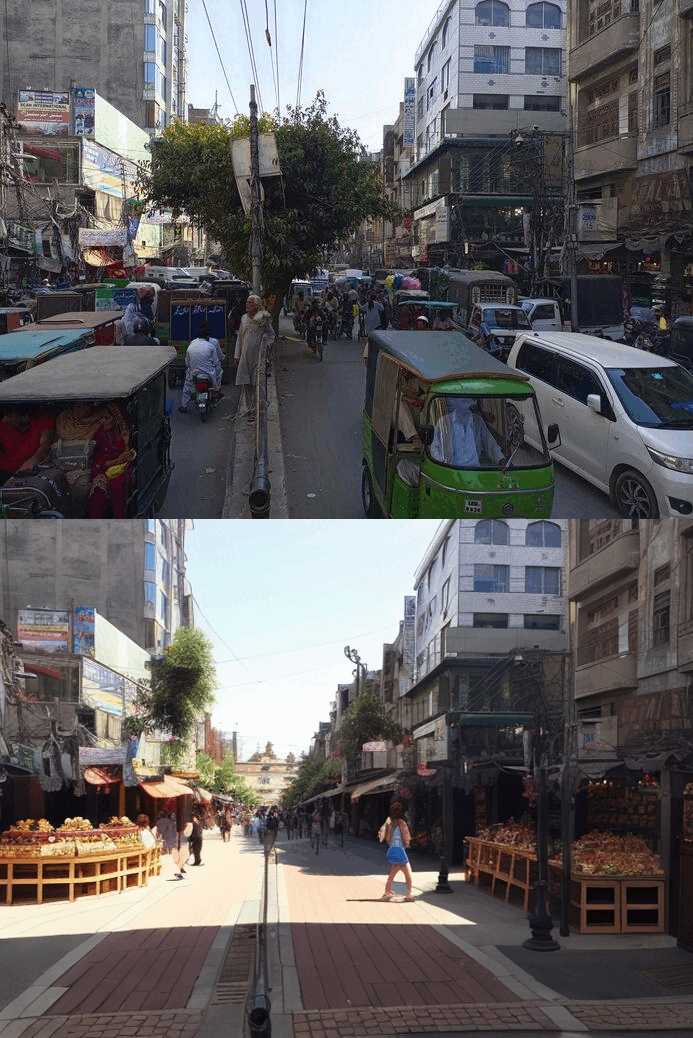
Urban Revisualization
CITY uses urban prototyping to study different compositions and strategies through AI applications. We undertake visualization, prediction, and diagnosis providing an opportunity to digitally simulate and test modifications to the urban landscape before implementation, foreseeing how changes in one structure may impact its surroundings. It is a careful approach to urban planning that minimizes stagnation and ensures the city keeps progressing.
Our tools facilitate communication between urban planners and the community. Applications of virtual reality (VR) or augmented reality (AR) can assist residents in visualizing proposed changes and provide feedback, promoting a more participatory planning process.
We are using AI applications to enhance the monitoring and analysis of data and integrating it with mobility optimization services which include:
- Intelligent traffic management
- Traffic light control
- Camera surveillance
- User-generated data to determine safe routes
- Monitor public spaces for safety.
- Female mobility and safety
Databases
Systems
Clients


