
From Data Solutions to Automated Models
See what we can do

1
Traffic Analytics
We employ artificially intelligent traffic analytics applications to assist law enforcement bodies in regulating and optimizing traffic activity throughout the city. We have designed a model that automatically recognizes license plates upon which further analysis can be applied, such as vehicle monitoring and tracking or origin-destination matrices.
2
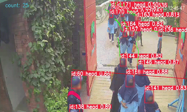
Crowd Analytics
This technology estimates the number of people in a defined area and can also determine queues. It triggers a notification when a defined threshold value is exceeded. It can be alternatively employed in detecting social distancing in real time and can trigger an alarm in case of non-compliance.
3
Policy Design
Our team leverages deep learning technology, prediction models and data-driven methodologies and to tackle complex issues faced by cities in Pakistan. Our focus is on three interrelated themes of the urban system: Urban Development and Growth, Urban Mobility, and Urban Environment and Health.
4
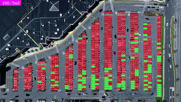
Parking Detection
We design parking management models which identify which parking spots are vacant and which spots are occupied,
using computer vision to optimize the utilization of parking spaces and provide a better parking experience for drivers and efficiency for management.
5
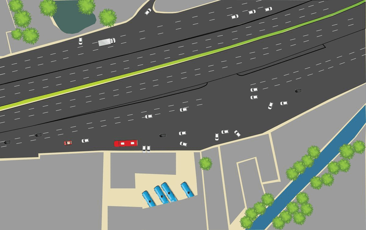
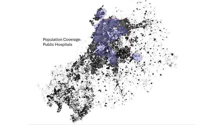
Route Optimization
CITY has designed models to optimize waste and resource management by leveraging technology to dynamically relocate waste bins based on usage patterns and demand, reducing the overall walking distance, maximizing population coverage, and promoting sustainability.
6
Urban Design
CITY uses urban prototyping to study different compositions and strategies through AI applications.It is a careful approach to urban planning that minimizes stagnation and ensures the city keeps progressing.

7
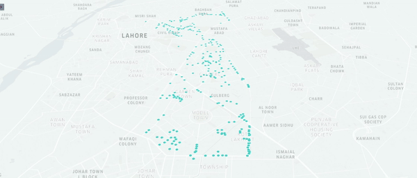
POI Extraction
Points of Interest or POIs are defined as “locations of specific type of
objects/buildings/structures that can be used for their identification and mapping for any sort of high-end application.”
We have created models to extract POIs and create datasets, that can be further input to analyze the level of service coverage for different amenities.
Our Interdisciplinary team is ready to revisualize your project.

Data Analysts
Our Data experts are trained to curate all your data needs.

GIS Specialists
Our GIS experts use the latest remote sensing tools and novel data sets to bring real-time visualizations to life.

Urban Planners
Our Urban Planners are revisualizing a more sustainable city, functioning at peak optimization.

Environmental Specialists
Our Environmental specialists are integrating our novel data tools with urban planning to design Climate Resilient cities.
Products and Services
- Road Extraction
- Automated People Counting
- Traffic Analytics
- Building Footprints
- Urban Visualization
- Route Optimization
- Policy Design
- Workshops and Training