Spatial Population Demographics
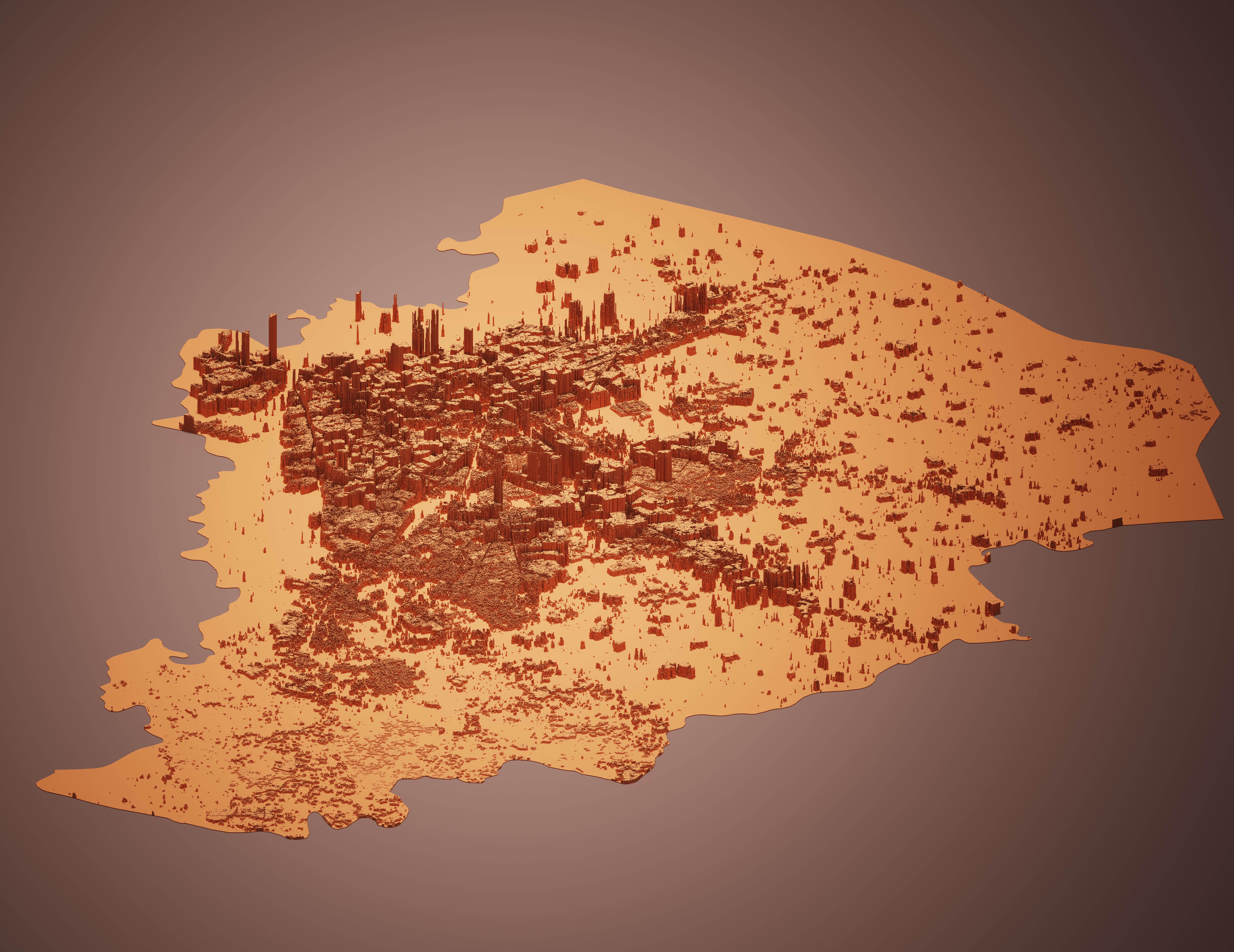
There is a dire need for a reliable population density dataset for all cities of Pakistan. It is critical in any policy-level decision-making processes, academic research, and also for the optimization of resources in development and planning projects. Accurate population density data is vital for solving various public and private sector problems, including urban development, infectious disease containment, evacuation planning, risk management, and conservation planning. With our highly accurate population density estimates, these development initiatives will be carried out more efficiently and systematically.
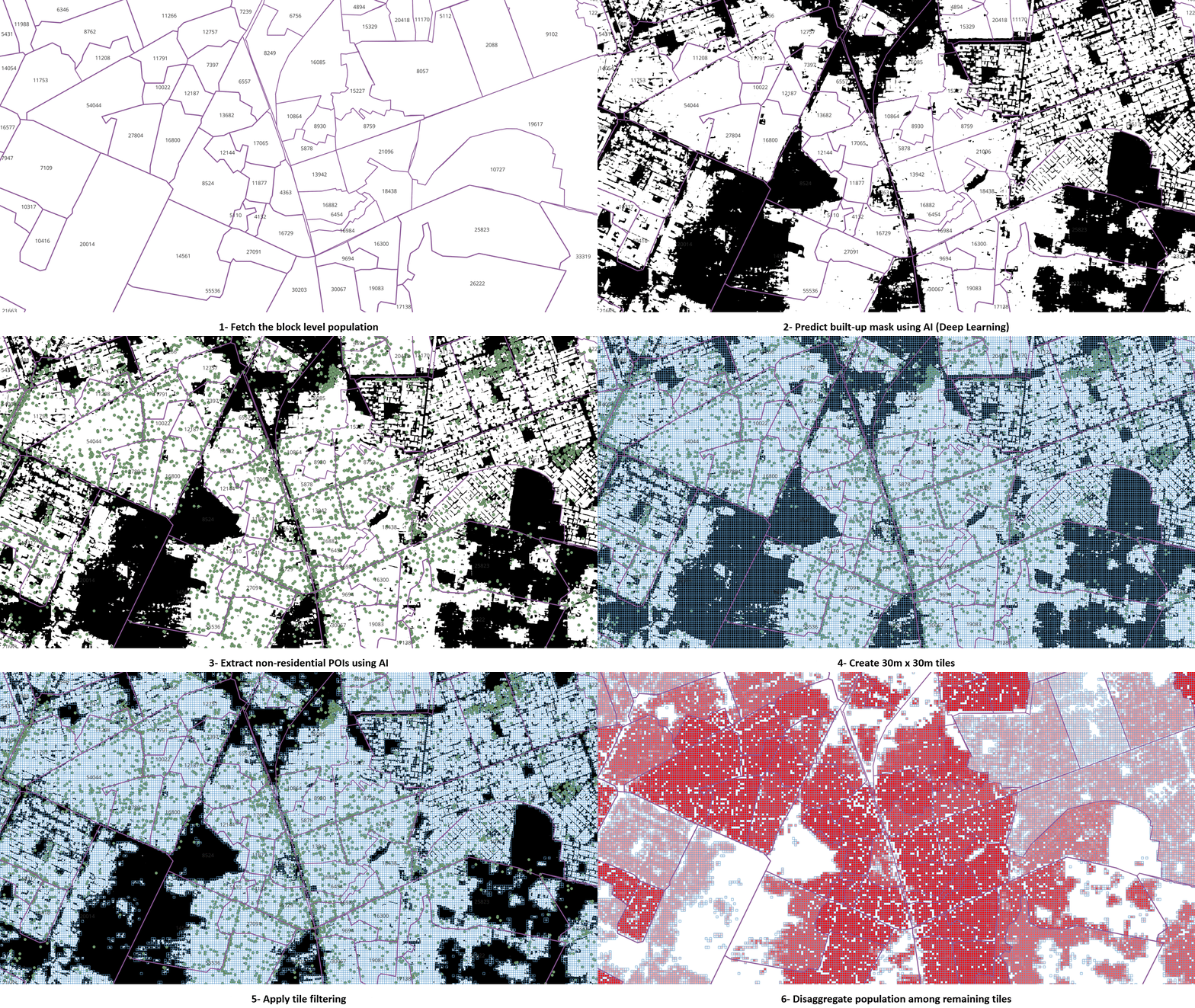
Census data and built settlement masks were fed into geographical information systems leading to a population density map. The built settlement mask was obtained from the deep learning methodology mentioned above. The figure below shows the design pipeline for the methodology to generate a high accuracy population dataset
Databases
Systems
Clients


